Leadville, Colorado · August 15, 2026
Leadville Trail 100 MTB Poster
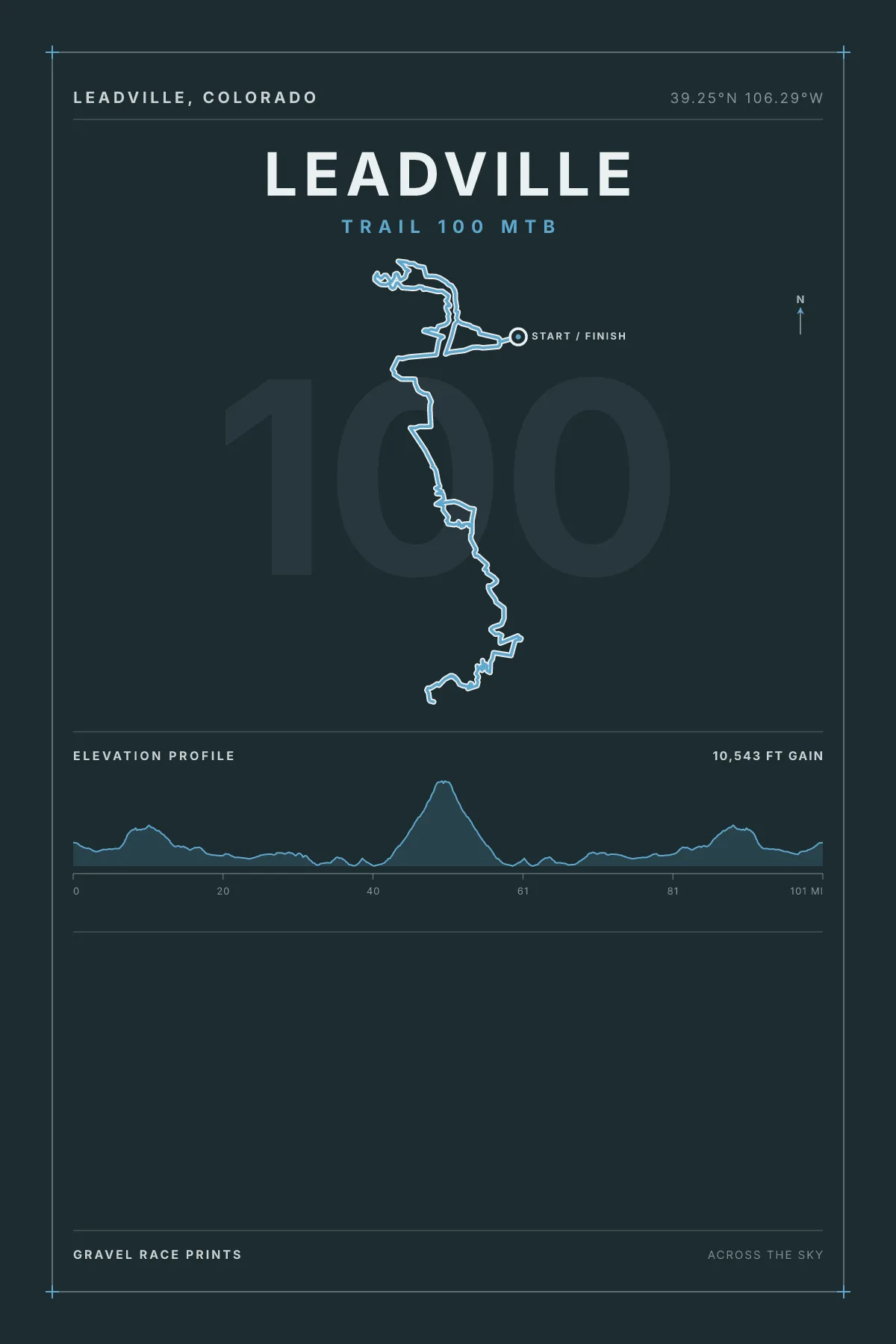
A hundred miles of Colorado high country, none of it below 10,000 feet. They call it the Race Across the Sky and the altitude does most of the work.
Preview shown with sample data. You'll personalize it next.
Distance
Year
Color
Size
Frame
Every distance at Leadville Trail 100 MTB
About the Leadville Trail 100 MTB print
The route line is drawn from the Leadville Trail 100 MTB course GPX, at the length the course actually measured. Underneath it runs the elevation profile from that same file, and below that your own ride: finish time, average speed, power, placing, bib, and the weather you got. The preview updates as you type, and what you see is what prints.
Leadville Trail 100 MTB is drawn at 100 mi. Each distance is its own course and its own poster, so pick the one you finished.
Printing and shipping
Made to order on heavyweight archival stock, unframed or in a black or natural wood frame, and shipped worldwide. Shipping is quoted for your own country before you pay, so the total at checkout is the total.
More questions before you order · How these posters are made